About us
The first painted perspective Maps were made in 1992. These maps were created mostly for German border regions (Vogtland, S?sische Schweiz, Oberlausitzer Bergland, etc.). Afterwards computer-made promotional projects followed. In 1994 we came out with the world curiosity - painted Panoramic Round Views (Scheibenberg, Scharfenstein).
The production expanded with drawing maps for the Cykloturistika magazine. In the next years, we produced many promotional brochures and publications furnished with maps (e.g. Pilsen in 12 different languages). We created first Information Boards (The Kozel Castle, Panoramic Round View from Great South Tower of St Vitus Cathedral, Sigmonds Trail).
We have been developing City Plans since 1996 (nowadays about hundred cities completed). RAMAP is currently focused on creating city and village plans (painted and also computer processed), information boards, round views, brochures and publications, postcards, making maps for various books, calendars, and posters.
We colaborate with:

|

|

|

|
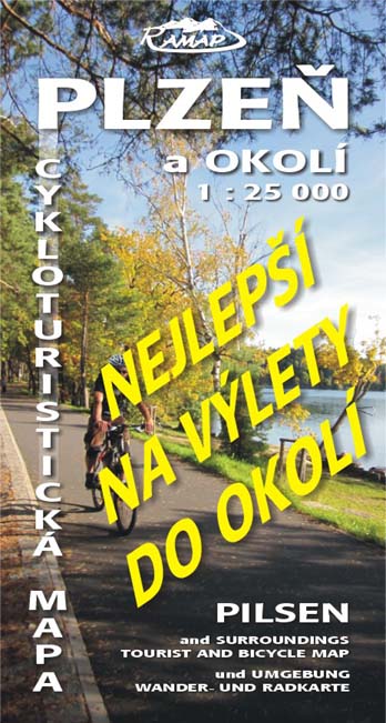
We RECOMMEND cycling map "Plzeň a okolí".


