Cycling Maps
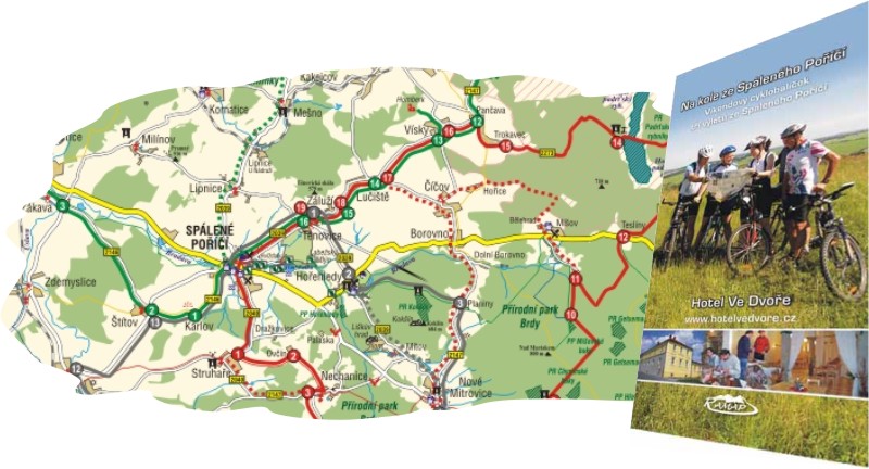
By bike from Spalene Porici
Map includes area around Spalene Porici. The map shows the cycling circuits with stops at places of interest that are described in the text part.
Plzeň and Surroundings (1:25 000)
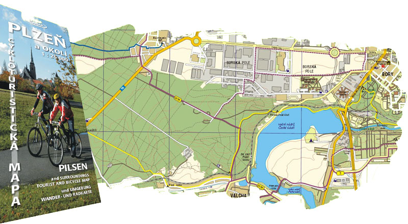
The map covers the area from Vejprnice in the east to Rokycany in the west and from Tremosna in the north to Stahlavy in the south. The map shows actual net of forest and country roads, tracks, and paths for pedestrians and bikers. There is a lot of information on natural and historical points of interest on the backside of the map (briefly also in English and German). The map set is accompanied by four recommended cycling trips of different difficulty.
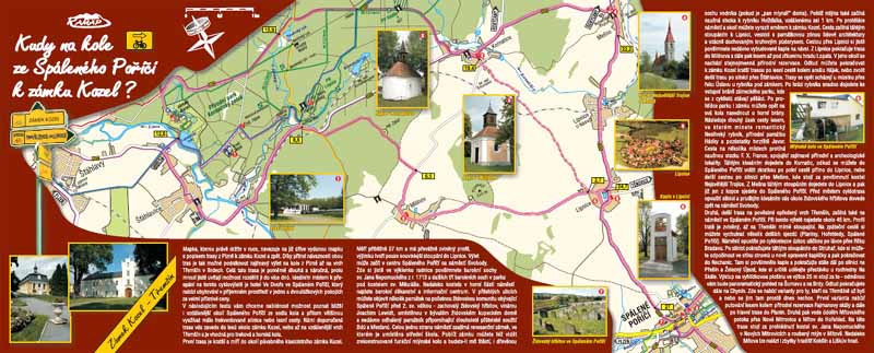
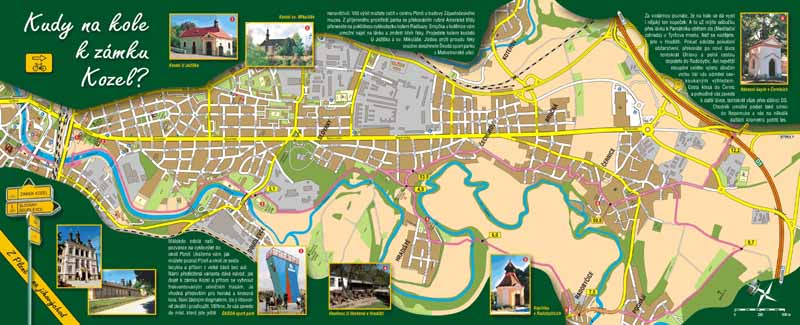
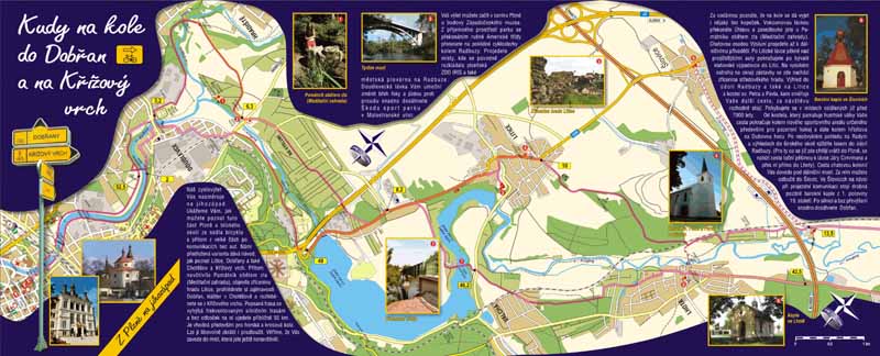
Serial of the cycling maps How to get to...by bike
The maps show a cutout along the proposed trip. The maps includes kilometrage. The described trips are illustrated with photos of interesting places.
